Navigation
Navigation
Navigation
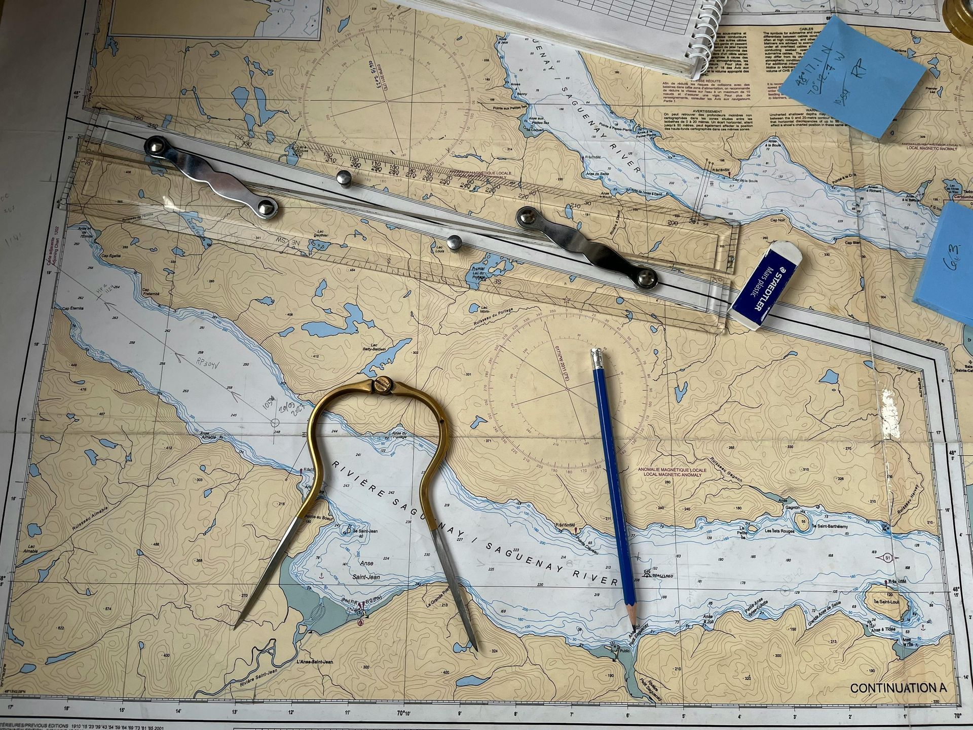
Have chart plotters made paper charts obsolete? Electronic charts have definitely made sailing safer and easier, but over reliance on them can ruin your day cruise or be catastrophic offshore.
I lay out a paper chart to get a bird’s eye view of a body of water that I have never sailed before. With this perspective, I develop a picture in my mind of where I want to go and how different land masses relate to each other on my desired course. Now I can overlay what I see in my head with the chart plotter to verify my heading when things get wonky, such as at night, in fog or stormy weather.
Working out time, distance and direction on a paper chart also provides a reality check to what my electronic chart system calculates. It’s very reassuring when my manual calculations and the system derived numbers agree. If they don’t, double check your work on both systems.
Finally, paper charts provide a back up when you lose power or your chart plotter fails, and if you sail long enough, both will happen. On a trip from the Chesapeake Bay to Block Island, I sailed off the charts on my chart plotter because I forgot to extend my Navionics subscription to cover the East Coast north of Atlantic City. Yes, I had redundancy on my phone and tablet, but what if they had failed as well?
Learning to chart a course on paper is not difficult and can provide a sense of accomplishment as well as the redundancy benefits noted above. I can help you get started, if you need some incentive.
Captain Dan